Every Journey Deserves a Map Worth Following
What if the difference between a forgettable trip and an extraordinary adventure was simply having the right guide in your hands?
Imagine standing at a crossroads in a foreign city. The moment when your phone battery dies, or when the signal disappears in the mountains. That instant when technology fails you, and you realize you're truly alone.
This happened to me three years ago in the Scottish Highlands. My navigation app crashed. The rental car's GPS froze. And there I was, surrounded by mist-covered peaks, with no idea which direction would lead me back to civilization.
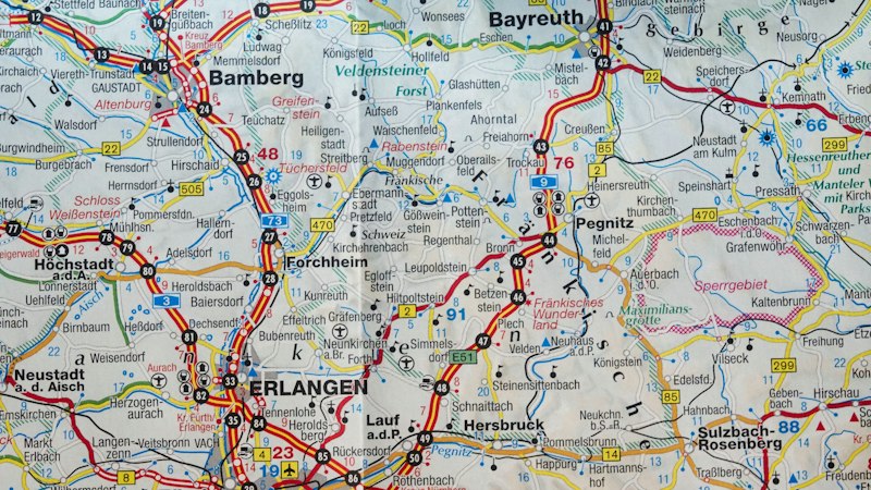
What saved me wasn't luck. It was a carefully annotated topographic map I'd purchased before the trip. A physical, tangible guide that worked regardless of satellites or cellular towers.
Since that day, I've made it my mission to help travelers prepare for both the expected routes and the unexpected detours. Because the best adventures often happen when you're willing to explore beyond the algorithm's suggestions.
The Problem with Digital-Only Navigation
We've become dangerously dependent on devices that can fail at the worst possible moments. Battery life. Signal coverage. Software glitches. Each represents a single point of failure between you and finding your way.
But there's another issue that's less obvious yet equally limiting.
Digital maps show you the fastest route. The most efficient path. They optimize for time and convenience, not for discovery or serendipity. They guide you along the same corridors as everyone else, past the same landmarks, to the same destinations.
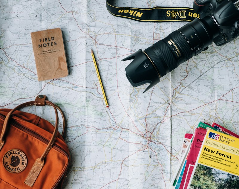
A well-designed physical map does something entirely different. It reveals the landscape's entire context. Side roads that might lead to hidden villages. Elevation changes that indicate viewpoints. Historical routes that tell stories about the land itself.
What Makes a Travel Map Truly Valuable
Not all maps serve the same purpose. A standard road atlas might get you from point A to point B, but it won't enhance your journey or prepare you for what lies between those points.
The maps we curate and customize share several essential qualities:
They prioritize readability under real conditions. Can you read it in dim light? In rain? While wearing gloves? If not, it's designed for desks, not destinations.
They include contextual information that matters to travelers. Water sources for hikers. Grade percentages for cyclists. Cultural sites for those seeking authentic experiences rather than tourist traps.
Most importantly, they're scaled appropriately for their intended use. A city walking map needs different detail than a regional driving map or a wilderness trekking chart.
How We Support Different Types of Journeys
Every traveler navigates differently. Some want to plan every detail in advance. Others prefer flexibility with just enough guidance to stay oriented. We've developed specialized mapping solutions for distinct travel styles.
Custom Regional Exploration Maps
For travelers who want to discover a region deeply rather than rush through highlights. These hand-annotated maps highlight lesser-known routes, seasonal considerations, and local recommendations that guidebooks rarely mention. Each map is researched and verified by someone who has actually explored the territory.
£127.50
Urban Walking Route Collections
Cities reveal their character slowly, on foot. These curated walking maps connect neighborhoods through paths that prioritize interest over efficiency. Each route is designed to maintain a comfortable pace while maximizing architectural, culinary, and cultural discoveries. Includes elevation profiles so you know what you're committing to.
£83.25
Multi-Day Trekking Chart Sets
For serious hikers planning extended wilderness journeys. These comprehensive topographic sets include water source verification, terrain difficulty ratings, bailout route options, and seasonal weather pattern notes. Each chart is printed on waterproof, tear-resistant material that survives the conditions you'll actually encounter.
£156.75
Cycling Route Navigation Packages
Purpose-built for cyclists who need to check their route without stopping every few minutes. Large-format maps with simplified routing, grade indicators, rest stop locations, and bike shop proximity markers. Designed to fit standard handlebar map cases and remain readable at speed.
£94.80
Historical Journey Recreations
For travelers who want to follow significant historical routes with modern safety and contemporary context. These specialized maps overlay historical paths with current infrastructure, helping you understand how landscapes have changed while following in the footsteps of explorers, pilgrims, or trade routes that shaped regions.
£112.40
Emergency Backup Navigation Kits
Compact, comprehensive fallback systems for when technology fails. Includes regional overview maps, detailed area charts, compass, waterproof case, and quick-reference guide for basic land navigation. Small enough to keep in your pack without noticing the weight, essential enough that you'll be grateful you brought it.
£68.90
What Others Have Discovered
"I've been hiking for twenty years and thought I knew the Lake District completely. The annotated map showed me valleys and approaches I'd somehow never noticed. It's changed how I explore even familiar territory."
— Margaret, KendalThe most common response we hear isn't about the maps themselves. It's about what happens when people start using them. They notice more. They deviate from standard routes. They discover places that don't appear in digital recommendations.
"My wife and I spent three weeks cycling through France. The route package you prepared kept us off motorways and onto quiet departmental roads we never would have found otherwise. Every day felt like a discovery."
— Thomas, BristolMaps change how you travel. They shift your perspective from following instructions to understanding geography. From being guided to being oriented.

How to Begin
Getting started is simpler than you might expect. Tell us about your intended journey. Where you're going, how you prefer to travel, what matters most to you along the way. We'll recommend the mapping solution that fits your specific needs.
No obligation. No pressure. Just a conversation about helping you navigate your next adventure with confidence and curiosity.
Request Your Custom Travel Mapping Solution
The mapping services and recommendations provided are intended for planning and reference purposes. Results and experiences vary based on individual circumstances, weather conditions, physical fitness, and preparation. Our maps should supplement, not replace, proper safety equipment, training, and judgment. Always consult local authorities and experienced guides before undertaking unfamiliar routes, particularly in wilderness or remote areas.